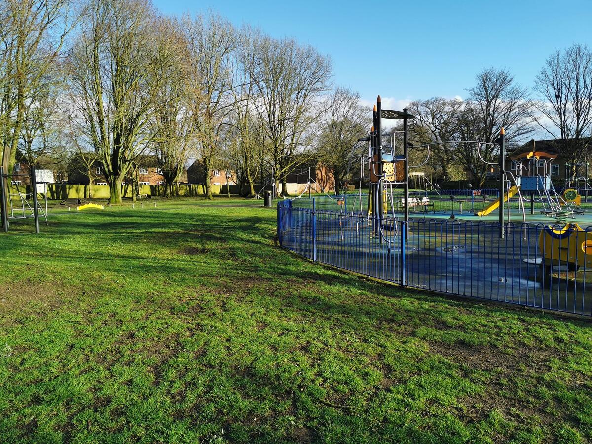
Open Spaces and Play Areas
 Eider Avenue
Lyneham and Bradenstoke have several open spaces and play areas, some are managed by the Parish Council, some are managed by Wiltshire Council and some are managed by Defence Infrastructure Organisation (through Amey).
No matter who owns them, no matter who manages them, they are all there to be used and enjoyed by all the people who live in the Parish.
If you find any issues with the open space or the play area, please contact the responsible authority whose details are given below:
Parish Council - 01249 561020
Wiltshire Council - 0300 456 0100
Defence Infrastructure Organisation - 0800 707 6000
You can find maps showing the locations of the Open Spaces and Play Areas in both Bradenstoke and Lyneham below
Play Areas
| Play Area Name | Where is is | Who Manages it |
|---|---|---|
Pound Close Play Area |
Pound Close |
Parish Council |
Slessor Field Play Area |
Slessor Road |
Defence Infrastructure Organisation |
Eider Avenue Play Area |
Between Eider Road and Pintail Court |
Defence Infrastructure Organisation |
Melsome Road Play Area |
Melsome Road |
Defence Infrastructure Organisation |
Bradenstoke Play Area |
Bradenstoke |
Parish Council |
Open Spaces
| Open Space Name | Where is it | Who Manages it |
|---|---|---|
The Green |
Calne Road, opposite Piggies Cafe |
Parish Council |
The Dog Park A secure dog exercise area (Limited Parking) |
Bradenstoke, top end of the village |
Parish Council |
Pintail Field Open Space |
Between Prestron Lane and Pintail Court |
Defence Infrastructure Organisation |
Victoria Drive Open Space |
Between Preston Lane and Victoria Drive |
Wiltshire Council |
Slessor Park Playing Field |
Slessor Road |
Defence Infrastructure Organisation |
Melsome Park Playing Field |
Melsome Road |
Defence Infrastructure Organisation |